Not a fan of tents? No problem. This ride should take around 3-5 hours depending on how many breaks and side trips you take. Scroll down for a complete description. The map was made with ridewithgps.com and it can generate a free cue sheet if you want one. A .gpx file can also be downloaded which is compatible with many GPS devices and applications.
If you’re going riding in the #GFNP why not read some tips on how to share your journey and inspire others?
Disclaimer:
This track was generated on a computer and like all information on this website should act as a guide only. Ride at your own risk, be prepared.
Elevation Gain: 827m
Highlights:
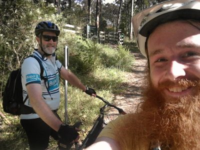
This route has been ridden as an organised day ride, click here to view the album. Consider following the Facebook page if you would like to join the next one.
- WirraWilla Rainforest walk
- Kalatha giant.
- Get lost among the largest trees on the mainland.
Surface conditions and wheels required:
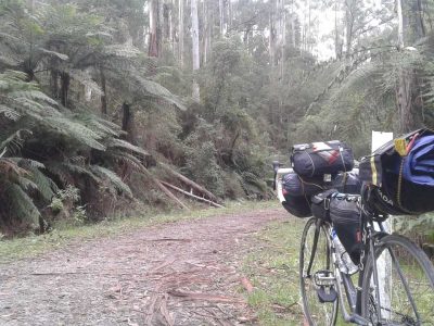
This route is all gravel roads and 4wd trails and you may encounter cars or trail bikes. None of it is super sketchy or steep but the track wasn’t built for bicycles so there are some short rough sections. There may be mud, depending on the weather. There is no single track. A cross-country mountain bike is ideal but a gravel grinder, hard-tail or fat bike would also do the trick. The starting point is easily accessible in a 2wd all year round.
Map:
Description:
Starting at the WirraWilla Rainforest walk, head out of the carpark and take a right onto Sylvia Creek Rd for a short while before turning left onto the glorious Yea Link Rd. After not nearly long enough, take a left onto Cockpit Creek OR continue on Yea Link – both eventually lead to Blowhard, at which point turn right. A few short climbs later take a left at Granton Rd. The old Granton Mill is a little more than 1km from the corner, there’s a ginormous pile of sawdust if you follow the faint track to the left of the road. The next stop is the giant Kalatha tree, located just past the intersection with Kalatha Road. This epic tree is a mountain ash (Eucalyptus regnans), the tallest flowering plant in the world. This particular specimens is one of the tallest trees on the mainland of Australia, with several more like it in the surrounding valley. From the Kalatha walk follow Kalatha Rd for about 10km until you reach Murrundindi Rd (~21km mark) The last little bit after Dindi River Rd before Murrundindi Rd is the roughest of the whole ride. Take a right over the bridge and stick to the main road until you reach a sign and a strange bit of forest. It looks nothing like the forest you have been riding through all day, how come? A little past here take a left just before Xylophone bridge onto Dindi Log Rd. Keep to it until you reach Siberia bridge and this time cross it, beginning the final 6km of steady but gentle climbing. When Siberia brings you back to the main road turn left, and then stick to the main road back to your car. You’ll know the climbing is finished when you pass the start of Blowhard Rd, the last 4km is all downhill.
Easy Alterations:
- Park at Tanglefoot Carpark (36km mark)
- Split the loop into two smaller loops from Tanglefoot utilising Kalatha Rd (connect the 13.8 and 35km marks).
- Dindi River Rd connects the 20.5 and 26km marks but was closed on my last visit (May 2017). It should open in the future.
Map and Route Notes:
- This route has not been calibrated in the field.
- If you’d like a slightly longer ride in Toolangi, check out this one.
- If you encounter anything interesting on the route, or record an actual GPS file from the field, please get in contact.